LasTrak
LasTrak
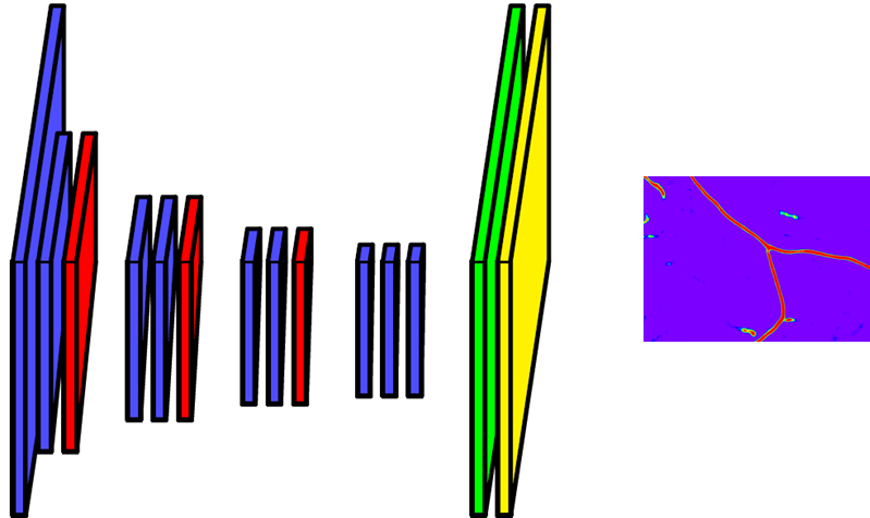
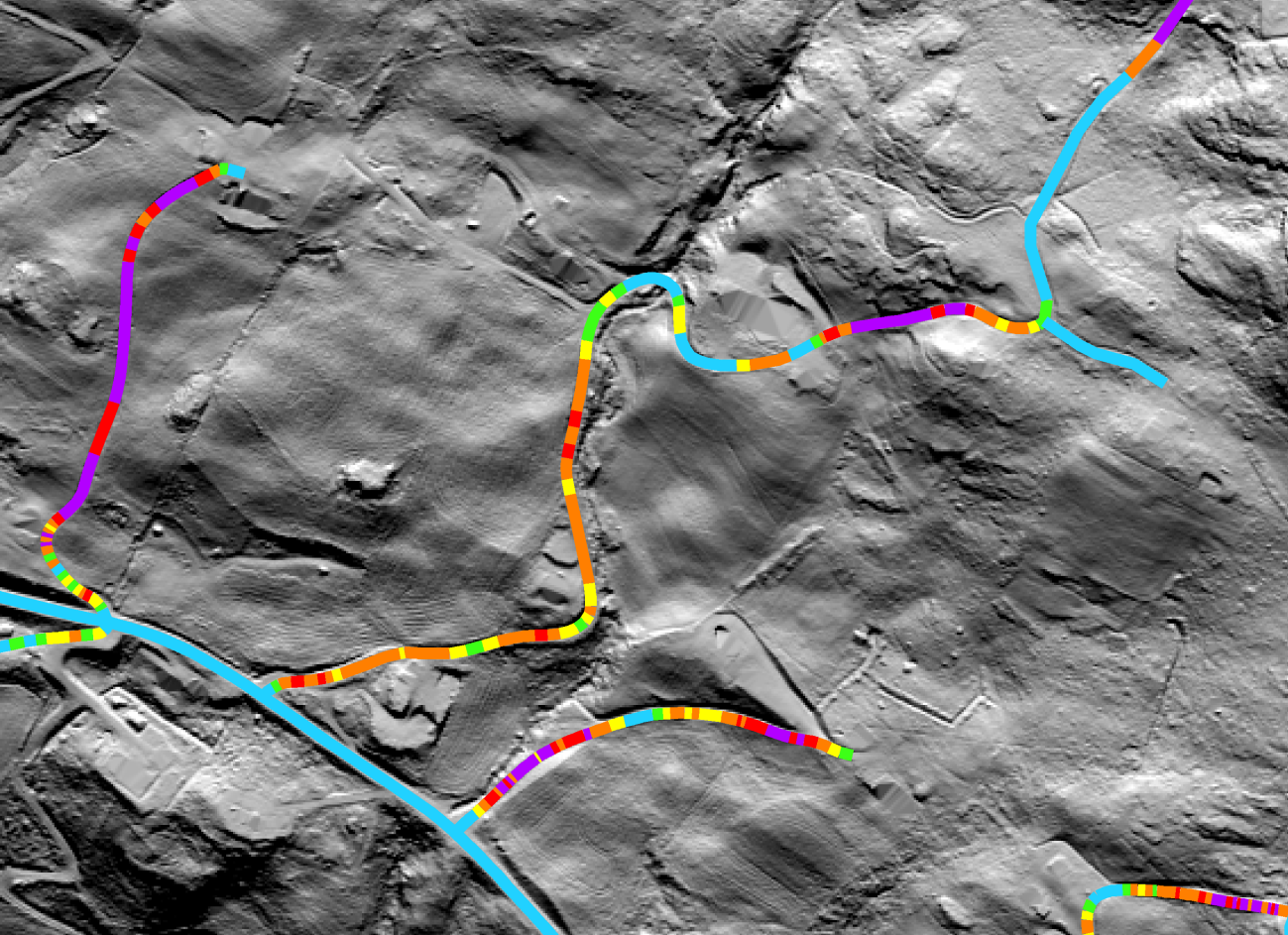
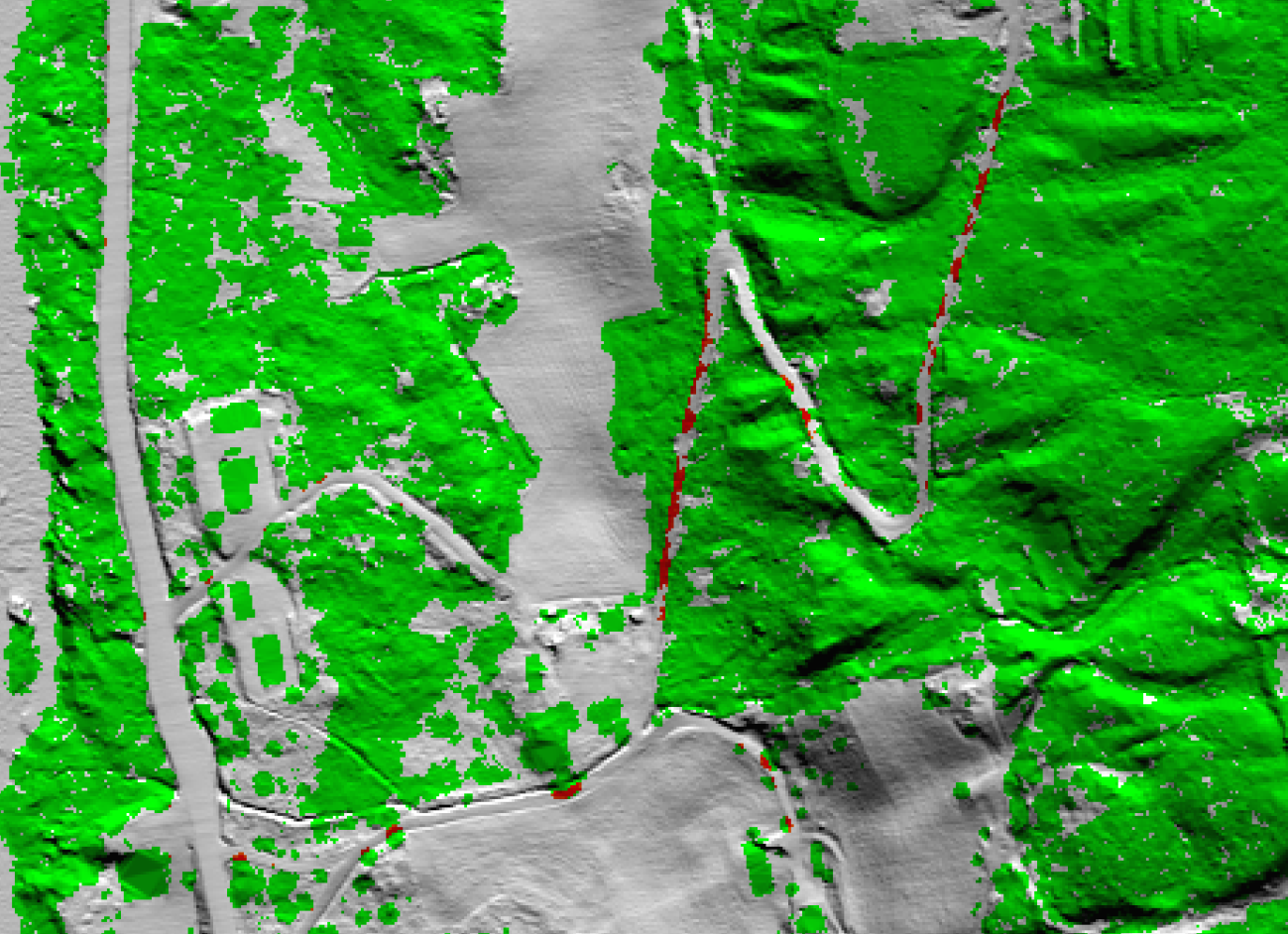
This project develops new automatic methods for the mapping of forest roads from airborne laser scanning (ALS) data. Three types of method have been developed: (1) Semi-automatic detection and mapping of roads from a high-resolution digital terrain model (DTM), (2) classification of road centre line segments into predefined elevation gradient intervals, and (3) detection and mapping of vegetation that overlaps roads. Methods 2 and 3 were straight forward to implement, and may be used directly in automatic processing chains. Method 1 is experimental, and may need further improvements before it may be used in automatic processing chains. The methods are implemented as IDL and C code. In addition, the main detection module in method 1 is implemented using a deep neural network and requires a graphics processing unit (GPU).
Images


Publications
Salberg, Arnt Børre; Trier, Øivind Due; Kampffmeyer, Michael C., 2017. Large-Scale Mapping of Small Roads in Lidar Images Using Deep Convolutional Neural Networks. In: Image Analysis 20th Scandinavian Conference, SCIA 2017 Tromsø, Norway, June 12–14, 2017 Proceedings, Part II. Springer 2017 ISBN 978-3-319-59128-5. pp. 193-204.
Project period
Objectives
Partners
Norwegian Mapping Authority, Hamar regional office


 How to get to NR
 Share on social media
 Privacy policy